
Case Studies
From quick inspections to full site captures and detailed modelling, our project portfolio showcases how True Datum Aerial helps clients get safer access, clearer information, and faster decisions across Melbourne & Regional Victoria.
Check out what we've done recently
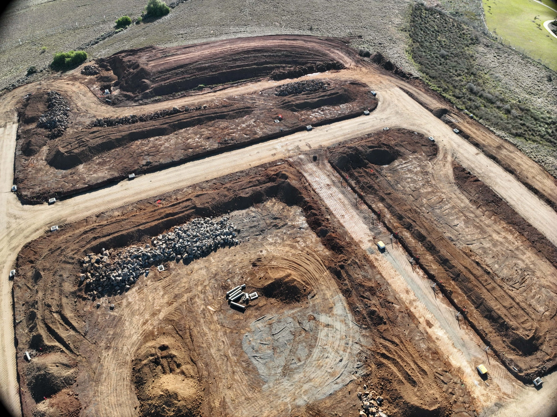
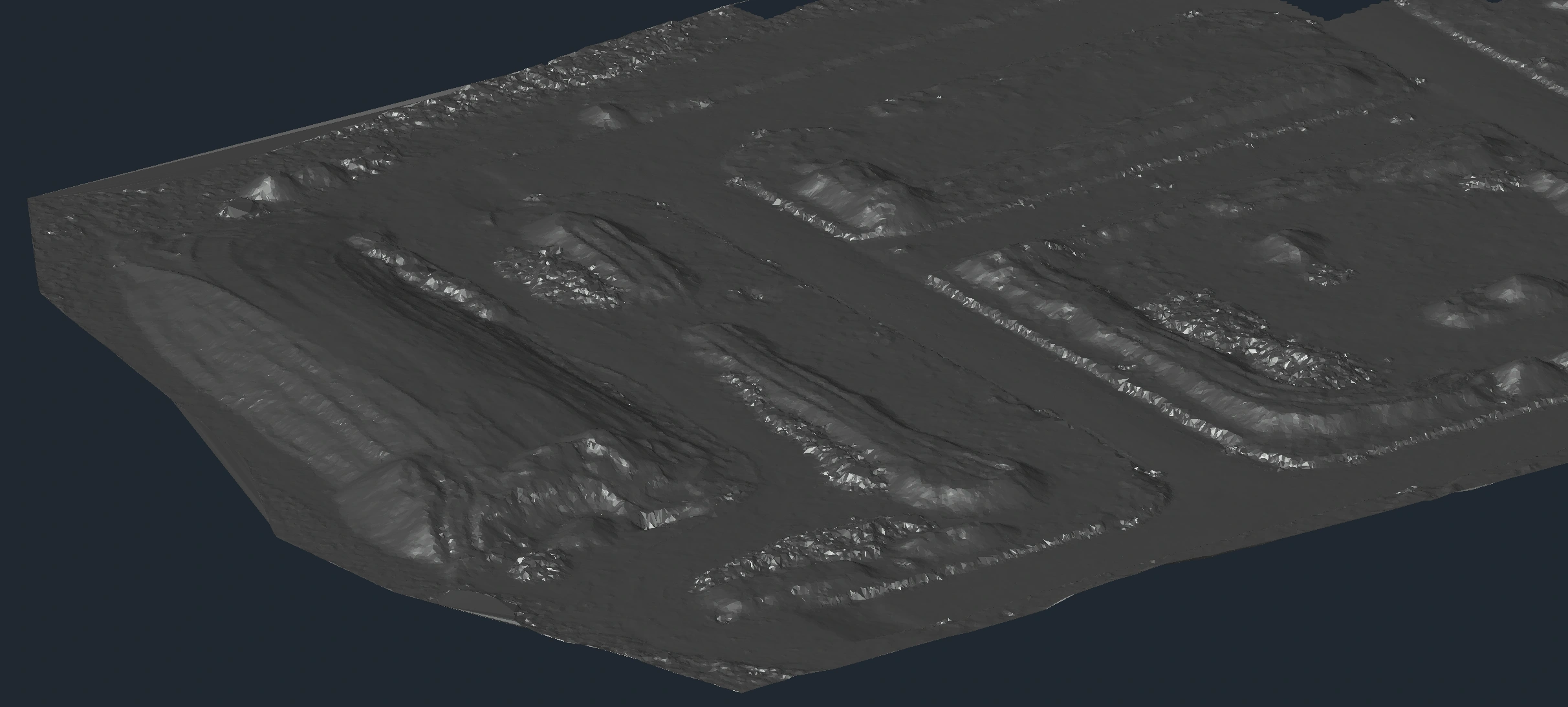
Residential Development Bulk Earthworks
What we delivered
Site-wide aerial map (orthomosaic) for clear context and measurements
3D surface model / point cloud for accurate ground shape
Contours and surfaces suitable for design checks and planning
Cut/fill and volume calculations (including clear visuals + a volume report)



Stockpile Volumes For a Quarry
High-resolution aerial map of the stockpile area for clear visual context
Clean 3D surface model of each stockpile (ready for measurement and reporting)
Stockpile boundary and crest/toe linework to define each pile consistently
Per-pile volume calculations (with totals and a clear summary table)
Colourised height/contour overlays to quickly visualise shape and change
Delivered files in agreed formats for easy use in CAD/GIS and internal reporting
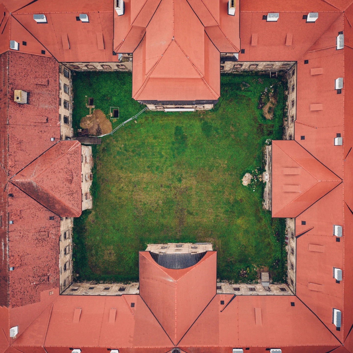
Roof & Façade Inspection - Visual
High-resolution aerial photos covering all roof areas, edges, gutters and penetrations
Close-up imagery of key elements (flashings, ridges, valleys, skylights, vents, plant)
Photo index so maintenance teams can quickly locate each area on the building
All imagery supplied in agreed formats for easy sharing with insurers, owners, or contractors

Construction Progress Mapping - Repeat Flights
Scheduled repeat flights to capture consistent site snapshots over time
Date-stamped aerial maps so progress can be compared week-to-week/month-to-month
High-resolution photo set for reporting, stakeholder updates, and records
Marked-up progress visuals to highlight completed areas and current works as per client's request
Change tracking views (before/after comparisons) to make movement easy to see
Delivered files in agreed formats for simple sharing and integration into project reporting
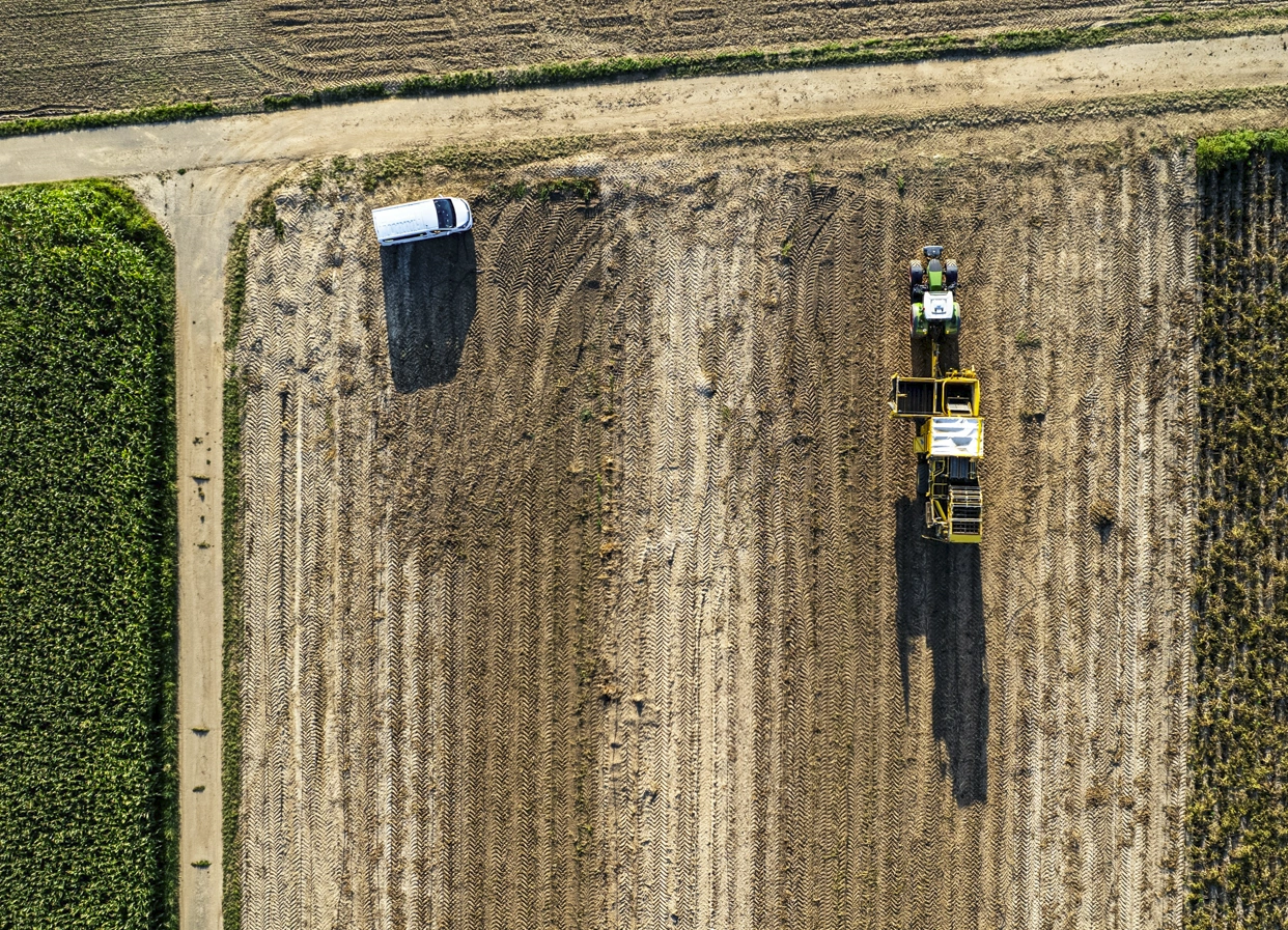
Agricultural Property Mapping
Property-wide aerial map for clear overview of paddocks, access and features
Terrain/contour mapping to understand drainage paths and low points
Dam and drainage feature mapping (catchments, flow paths, problem areas)
Track and access mapping to support planning and maintenance
Targeted capture of areas of interest (erosion, waterlogging, crop/ground cover)
Delivered files in agreed formats for easy sharing with consultants, contractors, or farm managers

Council Road Corridor - As-Built Capture
Full corridor aerial capture covering the road, shoulders, drains and tie-ins
High-resolution aerial map for easy measurement and reporting
3D surface model of the corridor to reflect actual levels and shape
Extracted centreline/edge linework and key features (as agreed)
Cross-sections at nominated intervals (as agreed) for checks and documentation
As-built deliverables supplied in agreed formats for council records and contractors